San Francisco field note
The Golden Gate Bridge: a working landmark
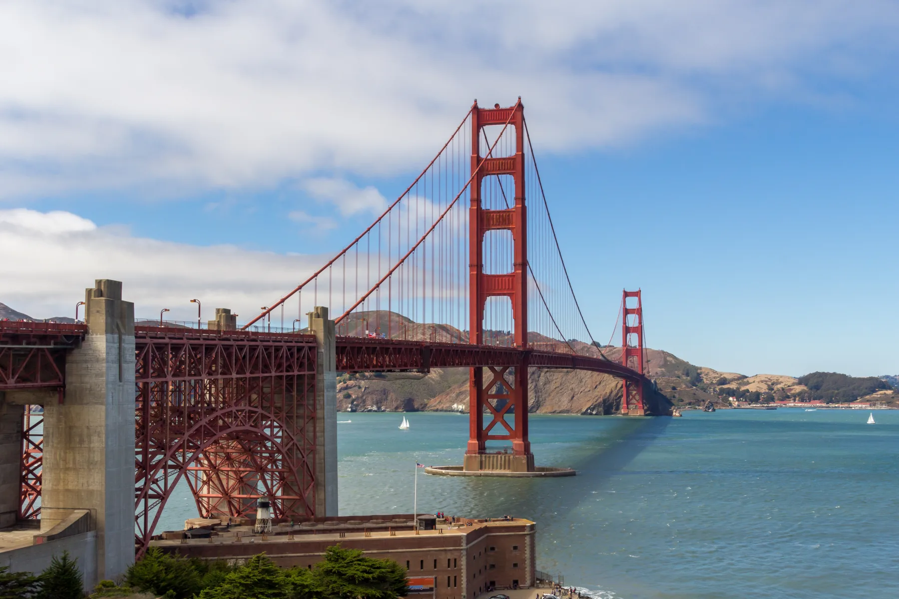
The Golden Gate Bridge crosses the strait connecting San Francisco Bay with the Pacific Ocean. Its name comes from the Golden Gate Strait, not from the bridge’s paint. The Golden Gate Bridge, Highway and Transportation District reports that construction began in January 1933 and the bridge opened to vehicle traffic in May 1937. The project emerged from years of engineering, financing, permitting, and argument over whether a bridge could be built across a channel known for depth, current, wind, and fog.
The structure’s central suspension span measures 4,200 feet. It was the longest bridge span in the world when built. The district lists a total bridge length of 8,981 feet from abutment to abutment and towers rising 746 feet above the water. Two main cables carry the suspension system; each contains 27,572 wires. Those figures are not just trivia. They show how many separate elements must work together before a familiar skyline object can perform its ordinary transportation job.
Construction was completed during the Great Depression with a 35-million-dollar authorized bond issue. The district’s history identifies Joseph Strauss as chief engineer and records the roles of engineers, ironworkers, painters, and other trades. The bridge’s International Orange color was selected for visibility and compatibility with the setting. Regular inspection, painting, wind work, seismic projects, traffic management, and suicide-deterrent construction demonstrate that completion in 1937 did not end the work of caring for the structure.
The bridge also operates as part of a transportation district rather than as an isolated monument. The district runs bus and ferry services in addition to the crossing. Drivers, cyclists, pedestrians, transit riders, workers, and visitors encounter the bridge in different ways. Current rules, lane status, toll information, parking, and visitor access can change, so the district’s own website is the appropriate planning source rather than an old travel summary.
Its setting explains much of the visual drama. Ocean air can be clear, heavily fogged, or wind-driven within a short period. Fort Point sits below the south anchorage, the Marin Headlands rise on the north, and shipping traffic passes through the strait. A photograph can freeze one calm moment, while the working bridge is managed for conditions that vary. That contrast between an iconic view and ongoing maintenance is central to understanding it.
Public records also make it possible to separate measured facts from legend. The district publishes construction dates, dimensions, operating information, and historical exhibits, while the National Park Service interprets nearby federal places such as Fort Point. Those sources may update as work or access changes. Responsible writing links to the current custodian and avoids turning a single photograph into a claim about daily conditions.
An insurance connection without a shortcut
A major engineered landmark is not a proxy for the condition or risk of a San Francisco home. It does offer a useful reminder that structures require accurate descriptions, continuing maintenance, and separate planning for seismic loss. Standard homeowners insurance generally excludes earthquake. A household reviewing property protection should distinguish rebuilding cost from market value, document retrofits and improvements, and consider earthquake coverage on its own terms. The California Department of Insurance earthquake guide explains common policy components. The issued policy controls, and no landmark or ZIP code decides an individual result.